
Why Cádiz is so windy: the 14-kilometre Venturi funnel
Cádiz owes its wind regime to the geography of the Strait of Gibraltar, where Europe and Africa come within 14 kilometres of each other at the narrowest point.[1] Flanked on the Spanish side by the Penibética mountain chain and on the Moroccan side by the Rif-Atlas range, that narrow marine corridor acts as a giant pressure nozzle between the Alboran Sea and the Gulf of Cádiz.[5] The easterly Levanter forms when clockwise circulation around a high-pressure system over central Europe merges with counterclockwise flow around a low-pressure centre over the southwestern Mediterranean.[6]
Forced between the two mountain walls at low tropospheric levels, the easterly current undergoes a strong Venturi effect.[5] Air converges as it enters the mouth of the Strait from the Alboran Sea, accelerates through the gap, and then fans out in diffluence as it exits westward toward the Gulf of Cádiz.[5] In the Strait zone, Levante blows on an average of 165 days a year, with its highest frequency running from May to August at roughly 16 days per month.[3]
In Cádiz city itself, a southeasterly Levante arrives with a twist that surprises visitors who have just driven up from Tarifa. Because the air has already dumped its cloud and moisture against the mountain ridges of the Strait, it descends toward the bay under a classic foehn effect, reaching the Cádiz coast warm and parched.[7] Local boatmen and farmers watch two instruments to see it coming: a slight drop in the barometer paired with a rising thermometer in the Gulf of Cádiz signals that the Levante is setting in, whereas a sharp barometer rise in Cádiz tells you the spell is finally breaking.[8]
Levante vs Poniente: how the two winds compare
While the southeasterly Levante arrives in the Cádiz zone warm and dry after shedding its clouds over the Strait mountains, the westerly Poniente blows in off the Atlantic as a strong, gusty current that rarely lasts long.[2][7] A typical Poniente episode runs for just 6 to 14 hours at a time, appearing on an average of 60 days a year and most frequently between October and April.[2]
Between those two winds, the Atlantic keeps the peninsula far milder than inland Andalusia. Climate normals recorded at the Cádiz observatory show an August average temperature of 25.0 °C, with an average daily maximum of 27.9 °C and an average minimum of 22.0 °C.[11] For details on monthly rainfall and sunshine across the year, see our Cádiz weather guide.
| Feature | Levante (easterly / SE) | Poniente (westerly) |
|---|---|---|
| Origin & funnel | Alboran Sea through Strait of Gibraltar into Gulf of Cádiz[5] | Atlantic flow entering from the west[2] |
| Annual frequency | 165 days/year in the Strait; ~16 days/month May–August[3] | ~60 days/year; most frequent October–April[2] |
| Typical duration | Persistent spells; ends when the Cádiz barometer rises sharply[8] | Short spells of 6 to 14 hours[2] |
| Air character in Cádiz | Warm and dry via foehn effect over Strait mountains[7] | Strong, gusty, short-lived Atlantic wind[2] |
Even in the countryside around the bay, the two winds dictate different working habits. A traditional rural proverb recorded by Spain's meteorological agency notes that when the Levante blows you can carry on with your farm work («Si sopla el viento de levante, sigue con tus labores adelante»), because the foehn effect keeps the sky dry, whereas if the wind swings round to Poniente in the cooler months you should leave the tractor and head indoors («Pero si el viento gira a poniente, deja el tractor y vente»).[7][12]
Why gaditanos call Levante 'el bicho' and 'matacabras'
Spend a week in Cádiz during a summer Levante spell and you will hear how personally the city takes its weather. Country folk around the province call the hot, desiccating southeasterly wind «matacabras» (the goat-killer), and the Cádiz-born writer José María Pemán captured its effect on the city's mood in a verse observing that the wind untunes both nerves and guitars («destempla los nervios y las guitarras»).[7]
Along the coast west of the Strait, a popular superstition holds that speaking the Levante's name out loud will summon its rage.[13] Rather than risk calling it up on a calm morning, locals refer to the wind as "el bicho" (the critter) or "el innombrable" (the unmentionable).[13]
Another traditional rhyme from the Strait sums up the exhaustion of living between the two currents, complaining that whether it comes from Poniente or from Levante, the weather here is so insolent that nobody can stand it («Unas veces por poniente / y otras veces por levante, / Aquí hace un tiempo insolente / que no hay tío que lo aguante»).[14]
Which Cádiz beaches to pick when the Levante blows
The municipality of Cádiz has 7,900 metres of fine siliceous sand beaches, and their orientation determines whether a windy afternoon feels sheltered or abrasive.[15] When the southeasterly Levante picks up, trade the open southern sandbars of Extramuros for the walled or breakwater-protected coves closer to the historic centre.[4][9][10][16] You can compare facilities across all four stretches in our Cádiz beaches guide.
Recommended tours
Tours are selected for quality, not commission. We earn a small fee if you book, at no extra cost to you.
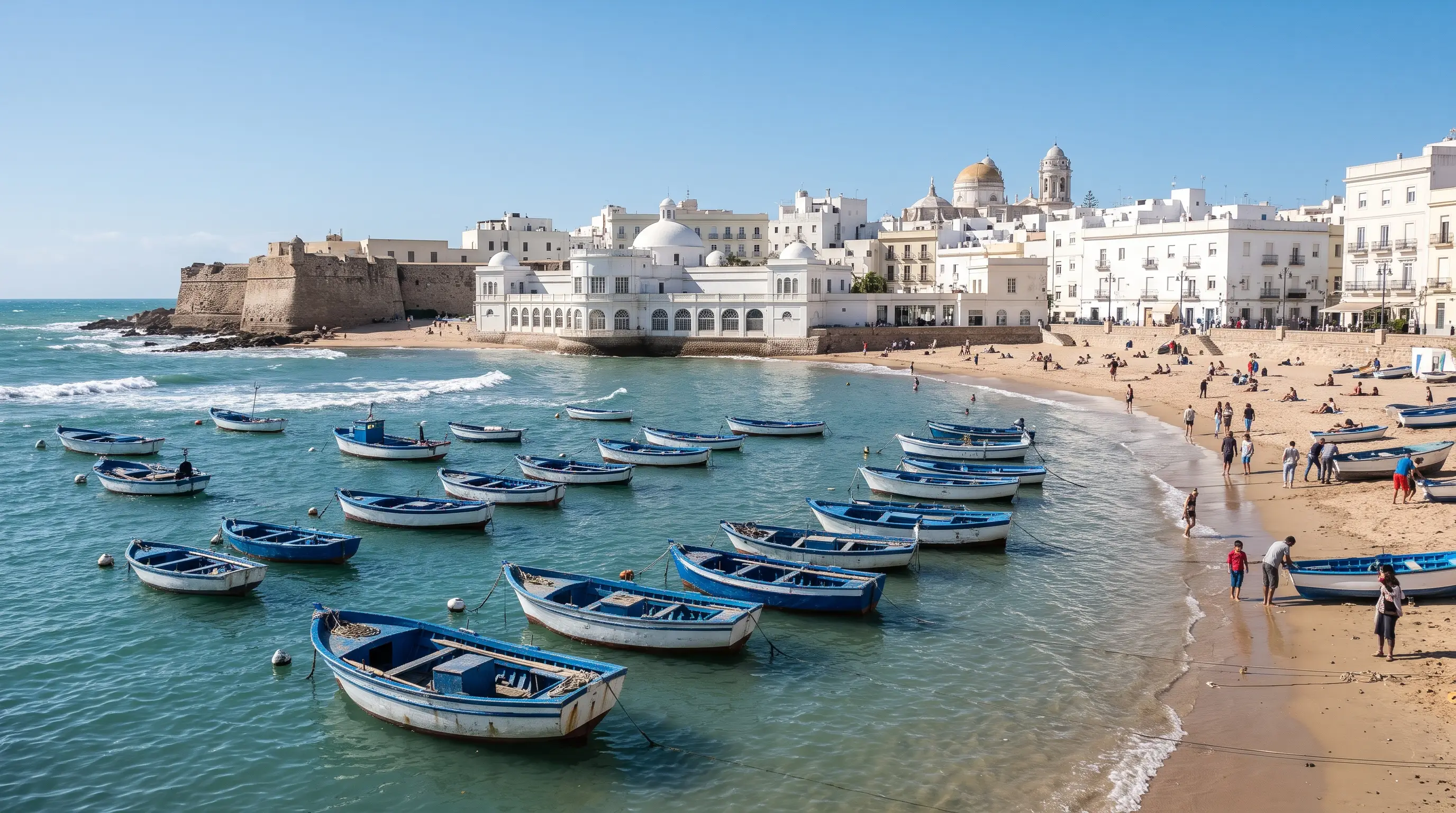
- Playa de La Caleta (Old Town): At 495 metres long and 50 metres wide at low tide, this is the only beach inside the historic centre, tucked between Castillo de Santa Catalina and the Malecón causeway to Castillo de San Sebastián, where the high Casco Antiguo walls block easterly Levante gusts.[4]
- Playa de Santa María del Mar (outside the land gate): The smallest and cleanest of the Extramuros beaches, enclosed by eastern and western stone breakwaters (bridas de contención) that create a shell-like cove and buffer moderate wind and erosion.[10][17]
- Playa de la Victoria (Extramuros): Officially classified in bathing guides as "ventosa" (windy) with moderate surf, this wide urban beach catches unobstructed crosswinds when Levante blows hard.[9]
- Playa de Cortadura (southern isthmus): Likewise classified as "ventosa" with moderate swell, the natural dune strip toward San Fernando has no backing buildings to block the wind, suiting watersports over sunbathing.[16]
Don't miss · Monument
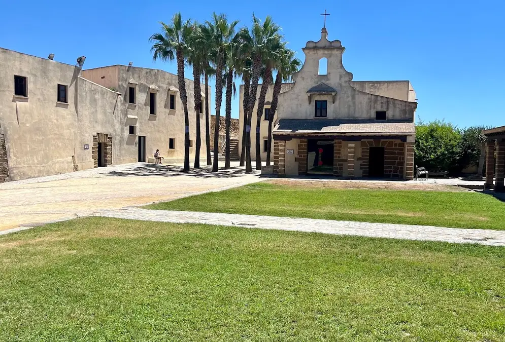
Castillo de Santa Catalina
Star-shaped sea fortress at the north end of La Caleta, built after the 1596 Anglo-Dutch sack. Free entry, exhibition rooms and a past as a…
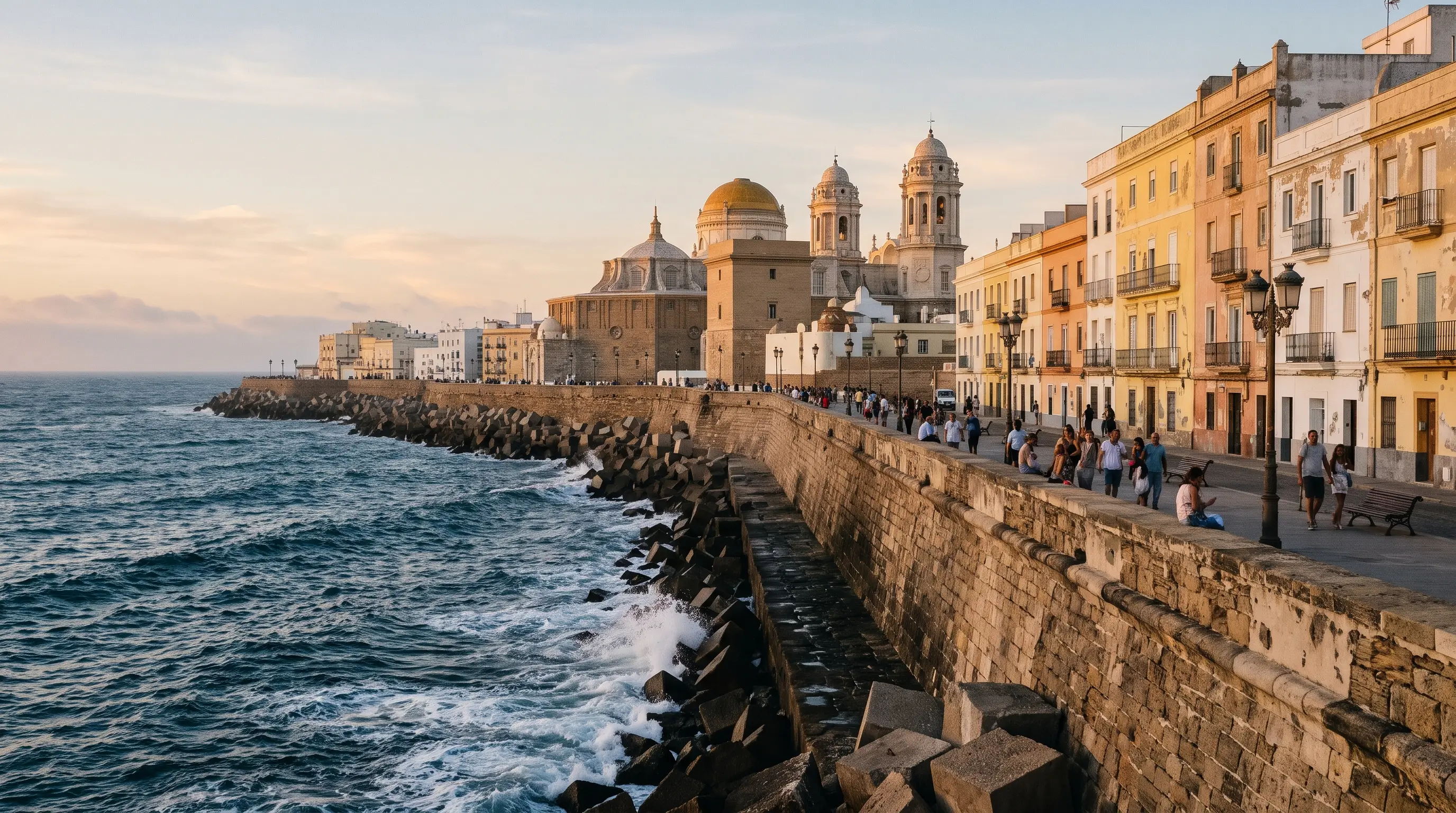
When the westerly Poniente blows in straight off the Atlantic instead, beach exposure flips: west-facing La Caleta catches the onshore breeze and chop, while Santa María del Mar relies on its western stone breakwater to buffer the swell.[2][4][10] Because Poniente spells last only 6 to 14 hours on about 60 days a year—mainly October to April—a light summer Poniente on Playa de la Victoria feels cooler and gentler than the dry Levante.[2][7][9] Always check the municipal lifeguard flags before swimming: green for good conditions, yellow for caution, and red when bathing is prohibited.[18]
Where to walk in the Old Town on a high-wind afternoon
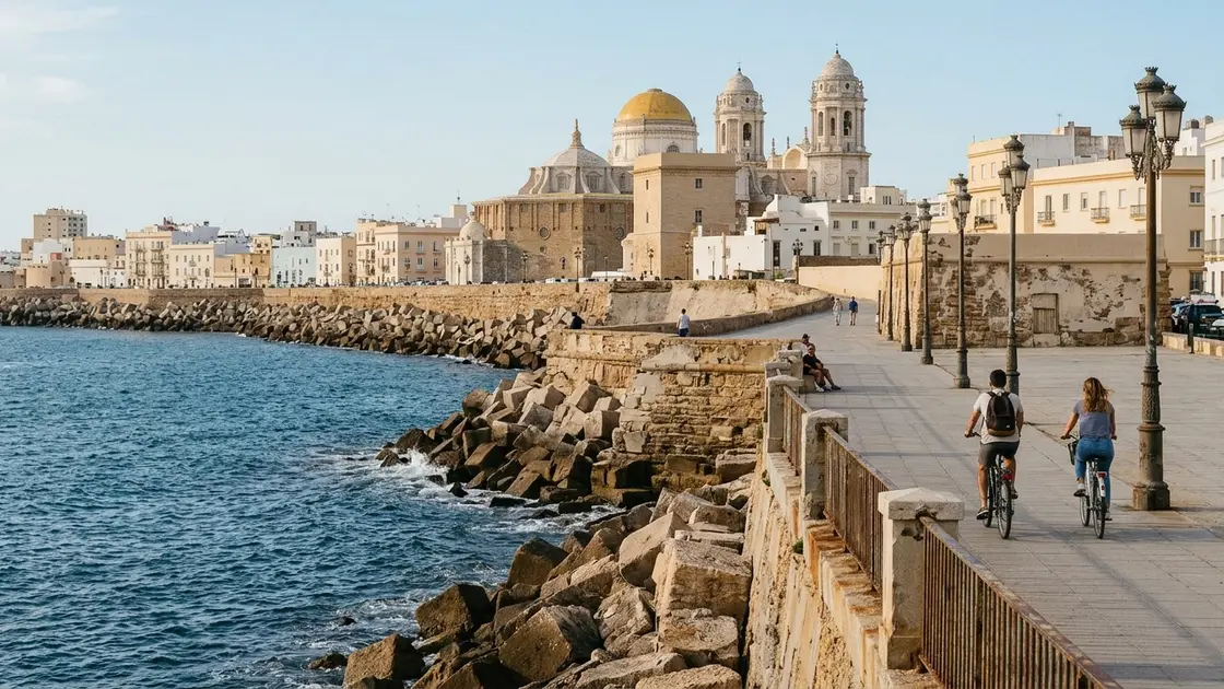
When gusts push past the point where even a sheltered cove feels restless, the smart move is to step inside the dense street grid of the walled city. Built on a tight layout behind sea walls, quarters like La Viña and El Pópulo break up the wind far better than the broad boulevards outside the gate.
- Follow the La Viña and Carnival walk through the narrow fishing-quarter lanes just inland from La Caleta, where three- and four-storey façades cut the breeze down to a gentle draught.
- Climb the exhibition rooms at Castillo de Santa Catalina on the headland of La Caleta to watch the whitecaps from behind stone ramparts.[4]
- Duck into the covered stalls and central courtyard of the Mercado Central de Abastos for tapas out of the wind, or step inside the Museo de Cádiz on sheltered Plaza de Mina until the evening calm returns.
Deep dive · Article
12 Interesting Facts About Cádiz: History, Towers & Secrets
Discover 12 interesting facts about Cádiz, from Phoenician houses buried under a puppet theatre and two marble sarcophagi to 134 watchtower…