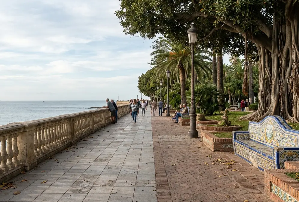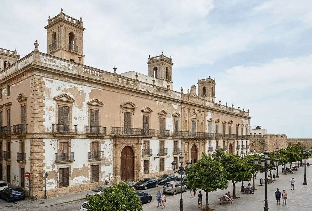

Barrio de San Carlos occupies the northeastern tip of Cádiz's historic peninsula, tucked between the port waterfront, Plaza de España, and the bay-facing gardens of the Alameda Clara Campoamor (formerly Alameda Apodaca). Conceived in the late 18th century when Governor Count O'Reilly was commissioned to build a planned residential quarter behind the Murallas de San Carlos, it is the part of the old town where Enlightenment urban design and the wealth of the Atlantic trade stand side by side.
Unlike the tight medieval lanes of El Pópulo, San Carlos was laid out with regular proportions, tall stone-faced merchant blocks, and rooftop lookout towers (torres miradores) raised to watch ships entering the Bay of Cádiz. A walk through the quarter takes in two of the city's grandest 18th-century residential ensembles, the 1912 Centenary Monument to the 1812 Constitution, and a regionalist seafront promenade ending at the Baluarte de la Candelaria and the Iglesia del Carmen.
Governor O'Reilly and the Murallas de San Carlos
At the end of the 18th century, the Count O'Reilly, Governor of Cádiz, was commissioned to build the Barrio de San Carlos in the Alameda Apodaca zone. The project formed part of an ambitious late 18th-century urban rehabilitation and fortification plan along the northern and port-facing edge of the peninsula.
Its defensive anchor is the Muralla de San Carlos, built in the late 18th century as a semi-bastion (semi-baluarte). Within the walled enclosure of Cádiz, the Baluarte de San Felipe and the Murallas de San Carlos formed the northeast defensive sector between the port front (Frente del Puerto) and the Baluarte de la Candelaria. When the port-side city walls were demolished at the beginning of the 20th century, the cleared ground in the Diputación and Plaza de España zone opened space for the Monumento a las Cortes, commemorating the 1812 Constitution.
The merchant blocks: Four Towers and Five Towers
San Carlos and its edge along Plaza de Argüelles and Plaza de España preserve two landmark groups of 18th-century merchant houses, each crowned with corner watchtowers:
| Ensemble | Location | Key historical detail |
|---|---|---|
| Casa de las Cuatro Torres | Plaza de Argüelles / Alameda Apodaca zone | Promoted from 1736 by Syrian merchant and Cádiz resident Juan de Fragela |
| Casa de las Cinco Torres | Plaza de España, numbers 5-D, 6, 7, 8, and 9 | Five-building ensemble lining the Diputación zone next to the port front |
| Monumento a las Cortes | Plaza de España (Diputación zone) | Raised after the early 20th-century demolition of the port-side walls |
On Plaza de Argüelles, Juan de Fragela, a Syrian merchant residing in Cádiz, promoted the construction of the Casa de las Cuatro Torres starting in 1736. A short walk east into Plaza de España, buildings 5-D, 6, 7, 8, and 9 form the ensemble known as the Casa de las Cinco Torres, standing beside the seat of the Diputación Provincial.
Along the Alameda to Candelaria and El Carmen
Running east to west parallel to the sea and the city wall, the Alameda Clara Campoamor (formerly Alameda Apodaca) and the Alameda Hermanas Carvia Bernal (formerly Marqués de Comillas) form a landscaped promenade through the northern edge of the historic centre. Before the northern sea wall was built, these waterfront grounds were known as the Caletilla de Rota. The promenade evolved across four distinct phases:
- 1617: creation of the first promenade, wider than the current layout.
- 1750–1754: construction of a three-lane tree-lined walk along the seafront.
- 1836: planting of a landscaped garden directed by Juan de la Vega.
- 1926–1927: completion of the current regionalist layout by architect Juan Talavera y Heredia, with planted parterres centred on the 1922 monument to the Second Marquis of Comillas by sculptor Antonio Parera Saurina, listed in the General Catalogue of Andalusian Historical Heritage in 2004.
The promenade starts at the Murallas de San Carlos, links directly with Calle Buenos Aires, Plaza de Argüelles, and Calle Honduras, and finishes between two major monuments on the edge of the Barrio del Mentidero (whose triangular square began construction in 1755 to complete the 18th-century expansion of northern intramuros Cádiz):
- Baluarte de la Candelaria (Alameda Marqués de Comillas, s/n), built in 1672 on a rocky headland between the San Felipe bastion and the La Caleta fortifications to protect the western maritime front, and now used as a municipal exhibition centre.
- Iglesia de Nuestra Señora del Carmen y Santa Teresa (Alameda Marqués de Comillas, 3, postal code 11003, in the Cádiz Intramuros archpriesthood), completed in 1762 in Baroque style and site of the solemn Te Deum on 19 March 1812 celebrating the proclamation of the Constitution of Cádiz that same afternoon. From here the gardens continue into Parque Genovés along the Cádiz seafront walk.